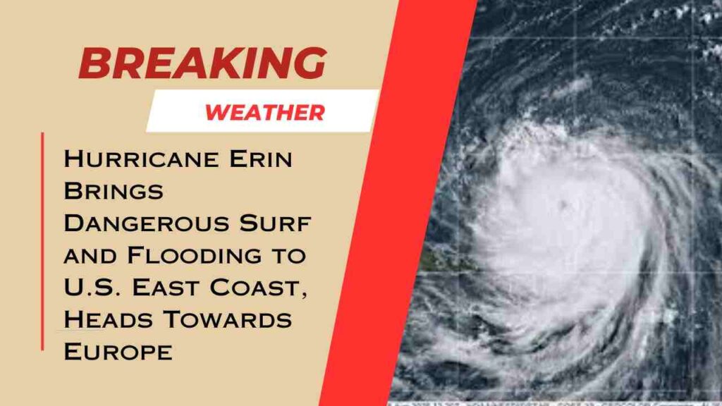
Hurricane Erin emerged as the first Atlantic hurricane of the 2025 season on August 15. It rapidly intensified from a category 1 to a category 5 storm within about 24 hours, making it one of the quickest strength surges ever observed in the Atlantic. This rapid growth is linked to unusually warm oceans, which scientists say are a consequence of climate change.
After its peak, Erin fluctuated in strength and now remains a Category 2 hurricane with winds around 100 mph (160 kph). It is unusually large, spanning over 600 miles, which is twice the size of an average hurricane. The storm is moving north and northeastward away from the U.S. East Coast towards the western Atlantic Ocean.
Erin has not made landfall but has already caused significant impacts. The hurricane battered North Carolina’s Outer Banks with strong winds, high waves, and flooding. Over 2000 people were evacuated from Ocracoke Island due to flooding and dangerous surf conditions. Some roads were rendered impassable by sand, water, and debris, and coastal erosion has been severe in places.
Storm’s large size is generating life-threatening surf and rip currents along the East Coast of the U.S., the Bahamas, Bermuda, and Atlantic Canada. Swimming bans and warnings to stay out of the water are in place along many beaches because of the dangerous ocean conditions. New Jersey officials declared a state of emergency due to rip currents and flooding caused by Erin.
Looking ahead, Erin was expected to weaken as it moved into cooler waters and encountered stronger wind shear. It is forecast to lose its hurricane status and become a post-tropical or extra-tropical cyclone within a few days. While it will no longer be a hurricane, the storm could continue to bring unsettled, wet, and windy weather.
Meteorologists are closely monitoring its path as it moves across the North Atlantic towards Europe, particularly the United Kingdom and Ireland. However, experts say there is no risk of it being a hurricane when it reaches Europe since the surrounding ocean temperatures are too cold to sustain such a storm.
The arrival of Erin’s remnants in Europe could affect the weather by bringing rain and wind during the last week of August. However, the intensity and exact track remain uncertain because forecasting the path of post-tropical cyclones is challenging.
In summary, Hurricane Erin was a very fast-strengthening Atlantic hurricane that caused flooding and dangerous surf conditions along parts of the U.S. East Coast. It is now moving northward, weakening but still holding large size and strength. The storm is expected to transition to a post-tropical system as it crosses the North Atlantic, eventually affecting parts of Europe with unsettled weather later in the week.

