

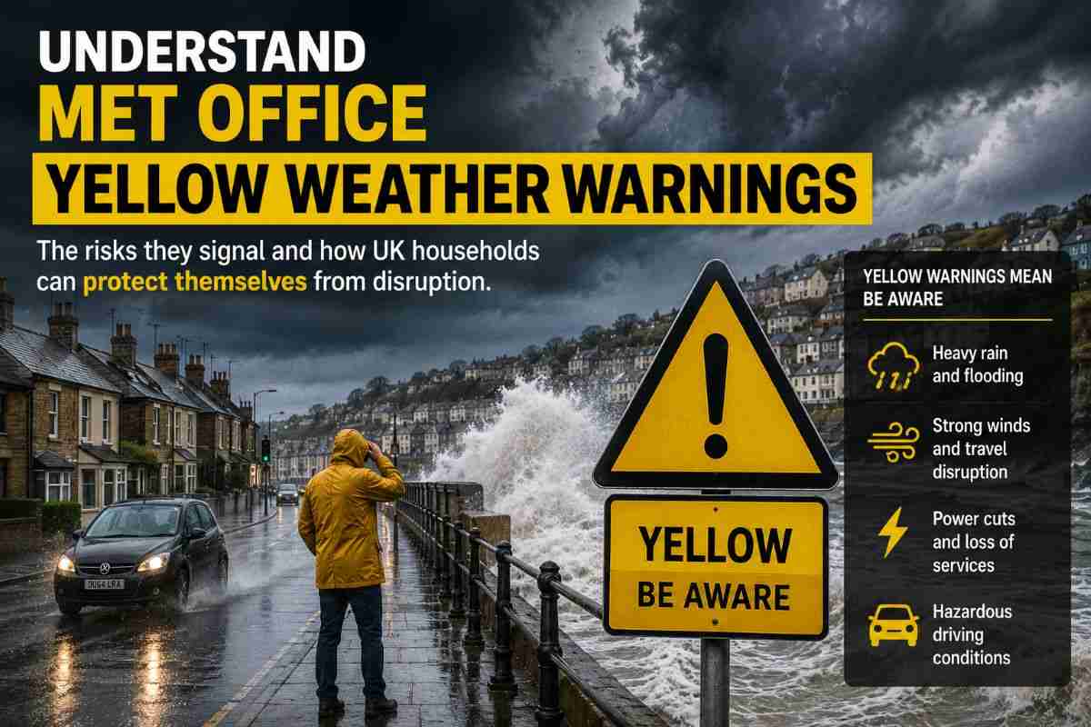
A Met Office weather warning can make an ordinary forecast suddenly feel much more serious. But what does a yellow warning actually mean, and does it mean everyone in the affected area should change their plans?
The answer is more nuanced than the colour alone suggests. The Met Office currently has yellow thunderstorm warnings covering parts of the UK, with a further yellow warning listed for Thursday. The warnings focus on the possibility of heavy rain, lightning, hail, localised flooding and disruption rather than suggesting that dangerous conditions will affect everyone. (Met Office)
What’s actually true about Met Office weather warnings?
The first thing to understand is that Met Office warnings are impact-based, rather than simply being triggered whenever a particular temperature, rainfall total or wind speed is reached.
The warning colour reflects a combination of the potential impact and the likelihood of that impact occurring. This is why two areas experiencing broadly similar weather can sometimes receive different warnings. Local conditions, timing and vulnerability can all influence the assessment. (Met Office)
For Wednesday, the Met Office has issued a yellow thunderstorm warning covering a wide area of England and Wales. It says heavy showers and thunderstorms could bring intense rainfall, lightning and hail, with some locations experiencing surface-water flooding. Many places, however, are expected to miss the most intense conditions. (Met Office)
Does a yellow warning mean you should stay at home?
Not necessarily.
This is one of the biggest misconceptions surrounding the warning system. A yellow warning does not mean that severe weather is certain, nor does it mean the whole warning area will experience dangerous conditions.
Instead, people should read the specific warning and consider how exposed they are. Someone driving through an area vulnerable to surface flooding may face a very different level of disruption from someone staying indoors away from flood-prone locations.
The Met Office describes yellow warnings as covering a broad range of situations. Some may involve relatively minor disruption, while others can involve more serious impacts where confidence is lower. (Met Office)
How this connects to travel and everyday plans
For many people, the practical question is not simply whether it will rain, but whether the weather could interfere with getting to work, travelling by train or driving.
During thunderstorms, sudden heavy rain can reduce visibility and create standing water on roads. Lightning or flooding can also cause delays to public transport, while local power cuts are possible in the most affected areas. (Met Office)
That means checking the forecast again before travelling is more useful than relying on a warning seen several hours earlier. Weather warnings can be updated as forecasters gain greater confidence about where the most intense conditions will develop.
Common mistakes people make
One common mistake is treating the colour as a simple measure of how bad the weather will be everywhere. It is not.
Another is assuming that no warning means there is no risk. Forecasts can still change, and ordinary heavy rain or thunderstorms outside a warning area can cause local problems.
It is also worth remembering that weather warnings are location-specific. A warning for one part of the UK does not automatically mean the same conditions will occur in every nearby town or city.
What to do next
If your area is covered by a yellow warning, check the detailed Met Office forecast before setting out. If you are driving, allow extra time and be particularly cautious around surface water and flooded roads.
If thunderstorms develop while you are outside, move into a safe enclosed building or vehicle rather than sheltering under trees. If your home is in an area vulnerable to flash flooding, consider what you would need if water levels rose quickly.
For amber and red warnings, the response should be more serious. The Met Office advises people to consider changing plans during amber warnings, while red warnings indicate dangerous conditions where immediate action may be necessary. (Met Office)
Key takeaway
A Met Office weather warning is best understood as a risk signal, not a guarantee of severe weather at every location. For the current yellow thunderstorm warnings, the sensible approach is to check the detailed local forecast, understand the potential impacts and adjust travel or outdoor plans where necessary.
